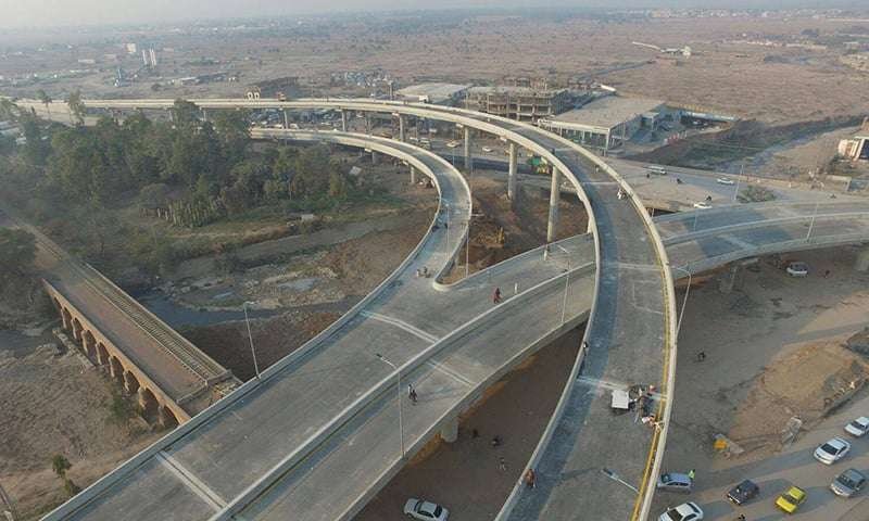
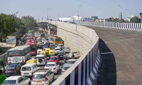
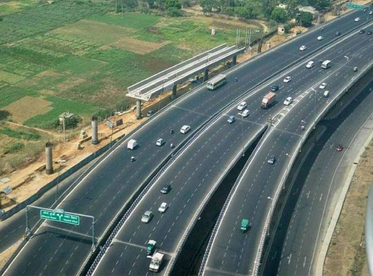
Durgapura Flyover is one of the major grade-separated road structures on Tonk Road in Jaipur. It was built where the road corridor narrows through a busy urban stretch with commercial activity and heavy bus movement. Instead of widening the entire built-up section at ground level, Jaipur Development Authority created an elevated road to add through-traffic capacity above the existing corridor.
JDA records the Durgapura elevated road as a four-lane, 1.18-kilometre structure completed at a cost of about Rs. 90 crore. It has 52 spans and was designed with provision for a possible Metro level above it, showing how the project was planned around long-term transport needs rather than only the traffic of the day.
Durgapura Flyover Quick Overview
| Particular | Details |
| Location | Durgapura, Tonk Road, Jaipur, Rajasthan |
| Structure Type | Four-lane elevated road / flyover |
| Length | 1.18 km |
| Width | About 15.7 metres |
| Spans | 52 |
| Project Cost | About Rs. 90 crore |
| Main Corridor | Tonk Road |
| Special Design Feature | Provision for a second-tier Metro in the original design |
Where Is Durgapura Flyover Located?
The flyover runs along the Durgapura section of Tonk Road in south Jaipur, a major arterial corridor leading toward the airport side, Sanganer and the southern suburbs. Surface traffic continues below for local neighbourhood access, buses and turning movements.
Connectivity of Durgapura Flyover
For through traffic, the elevated road improves movement along Tonk Road by bypassing some of the busiest local interactions at ground level. The corridor connects northward toward Gopalpura, Rambagh and central Jaipur and southward toward Sanganer, the airport approach and Sitapura-side routes.
Directions to Durgapura Flyover
The most useful approach depends on where the trip starts and whether the driver needs the elevated through route or a local surface-road turn.
| Starting Point | Route / Direction |
| Central Jaipur / Rambagh Side | Use Tonk Road southbound and follow the elevated-road lane for through movement across Durgapura. |
| Sanganer Side | Travel north on Tonk Road and enter the flyover if continuing toward central Jaipur. |
| Jaipur Airport Side | Join Tonk Road through the airport-side road network and follow signs toward Durgapura/central Jaipur. |
| Gopalpura Side | Use Tonk Road southbound; stay at grade if your destination is local to Durgapura. |
| Sitapura Side | Approach via Tonk Road/Sanganer routes and use the elevated corridor for through travel toward the city. |
Live navigation is recommended during peak periods because temporary traffic controls, road works, incidents or local diversions can change the fastest approach.
Nearby Areas Around Durgapura Flyover
The flyover serves more than one neighbourhood. These are the main nearby areas and why they matter to commuters.
| Nearby Area | Why It Is Relevant |
| Durgapura | Established residential-commercial locality around the flyover. |
| Durgapura Railway Station | Important suburban/rail landmark close to the wider area. |
| Tonk Road | Major north-south arterial road through Jaipur. |
| Sanganer | Historic and residential-industrial district south of Durgapura. |
| Jaipur International Airport | Major transport hub reached through nearby southern road links. |
| Gopalpura | Busy junction and neighbourhood north of Durgapura. |
| Malviya Nagar | Large residential and commercial district accessible through connecting roads. |
| Sitapura | Major industrial and institutional area farther south. |
Why Durgapura Flyover Matters on Tonk Road
Tonk Road is one of Jaipur’s most important north-south urban corridors, carrying airport traffic, city buses, office commuters and vehicles heading towards Sanganer and Sitapura. Durgapura was a bottleneck because the built-up corridor offered limited room for widening. The elevated road added four through lanes without requiring the entire ground-level street to be rebuilt, allowing local and through movements to be separated more effectively.
Route Planning Notes
Airport-bound travellers should not judge travel time only by the flyover itself. Delays can develop at Gopalpura, Tonk Phatak-side approaches or southern junctions beyond Durgapura. If a flight or train is time-sensitive, it is sensible to keep a buffer and check both Tonk Road and alternate approaches before leaving.
Public Transport and Local Access
Jaipur city buses, autos and cabs are widely used around Durgapura. Durgapura Railway Station is an important rail landmark nearby. Jaipur Metro does not currently provide a station directly at the flyover, so local road transport remains necessary for most last-mile trips.
Driving Tips
- Use the flyover for through Tonk Road movement; stay below for local Durgapura destinations.
- Expect buses and local traffic to merge at the ends of the elevated section.
- Airport-bound travellers should allow buffer time during peak traffic.
- Do not stop on the elevated road for railway-station pickups.
- During monsoon rain, reduce speed at ramps and watch lane markings carefully.
FAQs
1. Why was an elevated road built at Durgapura instead of simply widening Tonk Road?
JDA noted that the road was narrow through a built-up stretch with religious and commercial establishments, making a four-lane elevated solution more practical.
2. How long is Durgapura Flyover?
JDA records the elevated road at about 1.18 km.
3. Was the structure designed for a Metro line?
The original design included provision for a Metro at a second tier, although current Metro operations do not run directly above the flyover.
4. Is Durgapura Railway Station close enough to use as a landmark?
Yes. The railway station is one of the most recognizable transport landmarks in the wider Durgapura area.
5. Should airport traffic use the flyover?
It can be useful for through movement on Tonk Road, but the exact airport approach depends on the driver’s direction and current traffic.
6. Can local Durgapura traffic stay on the flyover?
Local traffic often needs the surface road for neighbourhood turns, shops and station access.