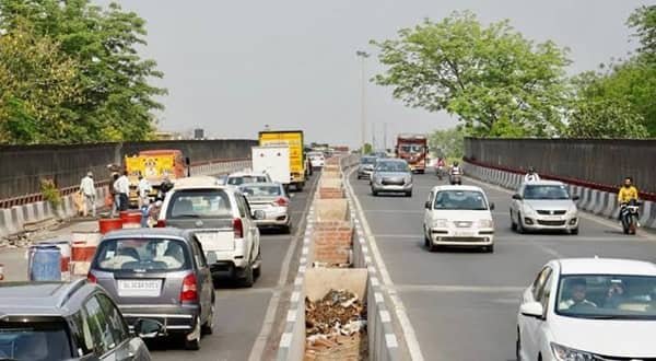
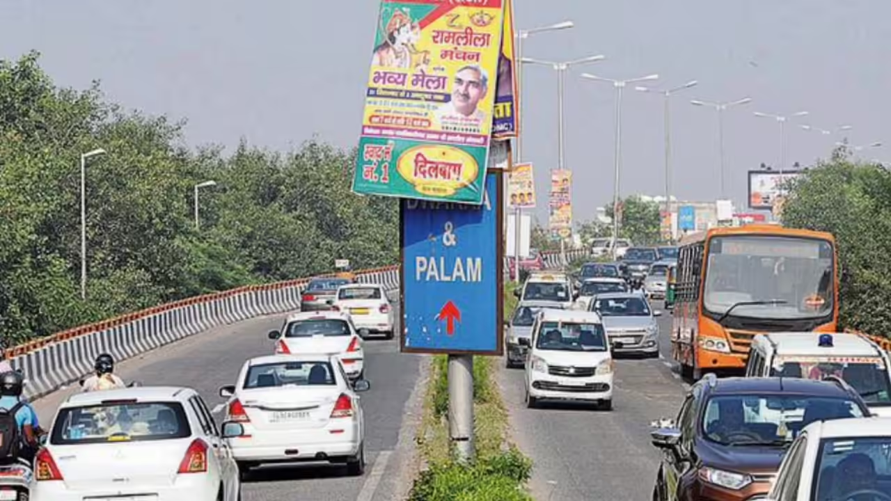
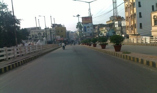
Dabeerpura Flyover is an important inner-city link in Hyderabad’s Old City, where narrow neighbourhood roads, railway-side streets and heavy local traffic meet routes toward Chanchalguda, Saidabad, Malakpet and the Charminar-side network. The flyover is only about half a kilometre long, but its location gives it a much larger traffic role than its length suggests. It helps through vehicles avoid part of the crowded street-level movement around Dabeerpura while local traffic continues to use the roads below for markets, schools, mosques, railway access and residential lanes.
Hyderabad Traffic Police lists Dabeerpura among the city’s existing flyovers at about 0.5 km. The structure is an older four-lane bridge that has undergone major strengthening and repair work in the past after structural distress was identified. The surrounding corridor is still being upgraded: road-widening work between Shaik Faiz Kaman and Dabeerpura Flyover was taken up in 2025-26, while other Old City approach roads are also being improved. That combination of an older flyover and changing surface-road geometry makes current lane discipline and local traffic advisories especially important.
Dabeerpura Flyover Quick Overview
| Particular | Details |
|---|---|
| Location | Dabeerpura, Old City, Hyderabad, Telangana |
| Flyover Length | About 0.5 km |
| Carriageway | Four-lane structure |
| Main Connections | Chanchalguda, Saidabad, Malakpet and Old City local roads |
| Nearby Rail Access | Dabeerpura railway station |
| Road Context | Dense inner-city corridor with markets, schools and residential streets |
| Infrastructure Note | Major strengthening carried out in the past; approach-road widening continues |
| Best Suited For | Through movement across the Dabeerpura-Chanchalguda side of the Old City |
Where Is Dabeerpura Flyover Located?
Dabeerpura Flyover stands in the south-eastern part of Hyderabad’s Old City, close to Dabeerpura railway station and the road network running toward Chanchalguda. The local street pattern is much tighter than on Hyderabad’s newer outer corridors, so the flyover rises directly out of a dense urban environment rather than from wide service roads.
Roads around the bridge lead toward Chanchalguda, Saidabad, APAT-side junctions, Yakutpura and Malakpet, while smaller lanes serve Dabeerpura’s residential and market areas. The surface road remains essential for addresses close to the railway station, local bazaars and neighbourhood streets.
Connectivity of Dabeerpura Flyover
The main value of Dabeerpura Flyover is that it separates a portion of through traffic from the slower local movements below. Vehicles moving between Chanchalguda and the Dabeerpura-Saidabad side can avoid some of the turning conflicts that occur at street level. The flyover also works as an alternative connection toward the Nalgonda X Roads and Malakpet side through the wider Old City road network.
Local access remains equally important. The road below carries autos, buses, two-wheelers, market traffic and vehicles entering narrow residential lanes. Road widening from Shaik Faiz Kaman toward the flyover is intended to improve this approach, but construction and property-adjustment work can temporarily change lane widths or turning movements.
Directions to Dabeerpura Flyover
The correct approach depends on whether the journey is a through trip across the Old City or ends in a local Dabeerpura street.
| Starting Point | Route / Direction |
|---|---|
| Chanchalguda | Use the road toward Dabeerpura and follow the through lanes to the flyover; remain at street level for prison-side or nearby local destinations. |
| Saidabad | Approach through the local arterial network toward Dabeerpura and choose the flyover for onward movement toward Chanchalguda. |
| Malakpet / Nalgonda X Roads | Use the Old City connecting roads toward Dabeerpura; the flyover can form part of an alternative route depending on the final destination. |
| Yakutpura | Use the local road network toward Dabeerpura and stay below the flyover when the destination is close to the railway-side streets. |
| Charminar / Old City Core | Approach through the permitted Old City roads toward Dabeerpura; traffic restrictions and processions can alter the normal route. |
| APAT / Noorkhan Bazaar Side | Use the Dabeerpura-side local roads and follow current traffic signs because drainage or widening works can change the preferred approach. |
The Old City frequently sees temporary diversions for processions, civic works and drainage activity. Surface-road signs and traffic-police directions should take priority over an older saved route.
Nearby Areas Around Dabeerpura Flyover
The flyover sits inside one of Hyderabad’s oldest and most closely built urban areas, with several important neighbourhoods within a short road distance.
| Nearby Area / Landmark | Why It Is Relevant |
|---|---|
| Dabeerpura | Historic Old City locality around the flyover and railway station. |
| Chanchalguda | Major residential-institutional area immediately connected on one side. |
| Yakutpura | Dense residential locality and railway-side area nearby. |
| Saidabad | Large south-eastern Hyderabad neighbourhood reached through connecting roads. |
| Malakpet | Commercial and transport district connected through the wider road network. |
| Noorkhan Bazaar | Old City commercial-residential area on routes toward APAT. |
| Dabeerpura Railway Station | Important local rail landmark close to the flyover. |
| Charminar-side Old City | Reached through local streets rather than a direct elevated corridor. |
Public Transport and Local Access
Dabeerpura railway station is the most relevant rail landmark near the flyover. It is a South Central Railway suburban station, not a Hyderabad Metro station. City buses, shared autos, auto-rickshaws and cabs provide the main last-mile connections through the surrounding Old City neighbourhoods.
Hyderabad Metro does not have a station at the flyover itself. Metro passengers normally need a road transfer from the operating network. For short trips inside Dabeerpura, Yakutpura or Chanchalguda, autos and local buses are often more practical than crossing the flyover and returning through narrow streets.
Driving Tips
Driving conditions around Dabeerpura are shaped more by dense street activity than by high expressway speeds.
- Keep speed moderate on the bridge because the descent quickly meets slower local traffic and closely spaced junctions.
- During heavy rain, watch for surface damage and standing water near older approach sections before accelerating onto the bridge.
- Expect pedestrians and two-wheelers to enter from short side streets near the flyover ends.
- Large vehicles should avoid entering narrow neighbourhood lanes unless the route is authorised and suitable for their turning radius.
- During major Old City processions or religious events, follow live police diversions rather than relying on the usual route.
- Use legal street-level pickup points; stopping near the ramp mouth can block a large share of the available carriageway.
FAQs
Q. Is Dabeerpura railway station a Metro station?
No. Dabeerpura is a railway station on the South Central Railway network. Hyderabad Metro does not have a station at the flyover.
Q. Why has Dabeerpura Flyover required major strengthening in the past?
Structural surveys found distress in the older bridge, including problems that required strengthening and repair work. GHMC carried out rehabilitation rather than treating the structure as a newly built flyover.
Q. What is changing on the Shaik Faiz Kaman side?
GHMC has taken up road widening toward Dabeerpura Flyover, including property-clearance work. The aim is to create a wider approach road and improve local traffic flow.
Q. Is there a toll to use Dabeerpura Flyover?
No separate toll plaza operates for ordinary city traffic using the flyover.
Q. Can heavy vehicles use any Old City street after leaving the flyover?
No. Some local streets are narrow, crowded or subject to vehicle restrictions. Heavy vehicles should remain on authorised major roads unless a permitted local approach is required.
Q. Why can traffic remain slow even when the flyover deck is clear?
The bridge is short and both ends feed directly into dense urban streets. Market activity, autos, buses and turning traffic can create queues immediately beyond the elevated section.