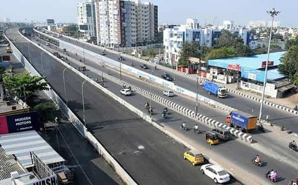
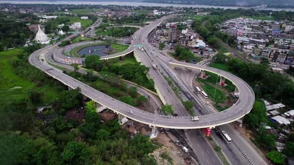
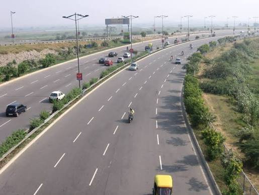
Ejipura Flyover is one of Bengaluru’s most closely watched road projects because it has remained under construction for years along the 100 Feet Inner Ring Road corridor between Kendriya Sadan and Ejipura. The project is intended to create a continuous elevated route across several busy junctions, including Sony World, and reduce through-traffic pressure on Koramangala’s surface streets.
This article needs an important status note: as of 12 September 2026, the flyover is not yet open to traffic. The latest publicly stated target is around the end of October 2026. Construction has accelerated during 2026, but motorists should treat the corridor as an active work zone and follow current Bengaluru traffic diversions rather than planning as if the elevated road is already operational.
Ejipura Flyover Quick Overview
| Particular | Details |
| Location | Koramangala–Ejipura, Bengaluru, Karnataka |
| Corridor | 100 Feet Inner Ring Road |
| Planned Connection | Kendriya Sadan to Ejipura, via Sony World junction |
| Approx. Length | About 2.4–2.6 km depending on project measurement reference |
| Traffic Lanes | Four-lane bidirectional elevated road planned |
| Status | Under construction as of 12 September 2026 |
| Latest Target | Around end-October 2026 |
| Important Note | Do not plan a journey assuming the flyover is open |
Where Is Ejipura Flyover Located?
The project runs along the Inner Ring Road/100 Feet Road corridor in southeast Bengaluru, linking the Kendriya Sadan side with Ejipura and crossing the busy Koramangala/Sony World area. The corridor connects several dense residential and commercial districts and is used heavily by commuters travelling between Koramangala, Domlur, Indiranagar-side roads and the southeast technology corridor.
Connectivity of Ejipura Flyover
Once opened, the flyover is intended to carry through traffic above key intersections and reduce the number of vehicles stopping at Sony World and other surface junctions. Until then, all normal traffic remains dependent on the road below and on temporary construction diversions. The corridor also links indirectly toward Domlur/Old Airport Road in one direction and Koramangala, Ejipura and the Madiwala side in the other.
Directions to Ejipura Flyover
The most useful approach depends on where the trip starts and whether the driver needs the elevated through route or a local surface-road turn.
| Starting Point | Route / Direction |
| Domlur / Old Airport Road Side | Approach the Kendriya Sadan end through the Inner Ring Road network. Follow current work-zone lanes; do not expect flyover entry to be available yet. |
| Koramangala Side | Use 100 Feet Road/Inner Ring Road and obey barricade diversions around construction sections. |
| Sony World Junction | Treat this as an active construction area. Choose local lanes early and avoid last-minute turns. |
| Ejipura Side | Approach through Ejipura Main Road/Inner Ring Road connections and follow traffic-police signage around ramp works. |
| Madiwala Side | Use the current surface-road network toward Koramangala/Ejipura; live navigation is essential because work-zone arrangements can change. |
Live navigation is recommended during peak periods because temporary traffic controls, road works, incidents or local diversions can change the fastest approach.
Nearby Areas Around Ejipura Flyover
The flyover serves more than one neighbourhood. These are the main nearby areas and why they matter to commuters.
| Nearby Area | Why It Is Relevant |
| Ejipura | Dense residential neighbourhood at one end of the project. |
| Koramangala | Major residential, office and dining district served by the corridor. |
| Sony World Junction | One of the key intersections the elevated road is designed to bypass. |
| Kendriya Sadan | Important government-office landmark at the opposite end of the corridor. |
| Domlur | Major junction and neighbourhood connected through Inner Ring Road. |
| Madiwala | Busy southeast Bengaluru locality connected through the wider road network. |
| St. John’s Medical College Area | Important institution near the project corridor and ramp works. |
| Indiranagar | Major commercial-residential district reachable through Domlur-side connections. |
Why the Ejipura Corridor Matters
The Inner Ring Road around Koramangala is one of Bengaluru’s most overloaded urban corridors because it carries office traffic, local residential trips and cross-city movement between the Domlur/Old Airport Road side and southeast Bengaluru. The planned flyover is intended to remove a portion of this through traffic from junctions such as Sony World. Its eventual impact will depend not only on the elevated deck but also on how ramps, footpaths, bus movement and surface intersections are managed after opening.
Route Planning Notes
Until authorities officially open the structure, drivers should treat every visible ramp as part of a construction site. A nearly finished span is not permission to enter. The safest planning method is to use live navigation immediately before departure and follow Bengaluru Traffic Police barricades on the ground, because temporary lane arrangements can change faster than static map data.
Public Transport and Local Access
BMTC buses, autos and app cabs remain the main public-transport options along the project corridor. Bengaluru Metro stations in surrounding areas require road transfers; there is no operational station built into the flyover itself. Construction can temporarily shift bus stops or pickup points, so passengers should verify the current location before travelling.
Driving Tips
- Do not follow old map prompts that imply the elevated road is already usable.
- Reduce speed around barricades and temporary lane shifts.
- Allow extra travel time during rain because construction zones can worsen bottlenecks.
- Avoid roadside pickups near active ramp and pier work.
- Check Bengaluru Traffic Police updates before peak-hour travel through Koramangala/Ejipura.
FAQs
1. Is Ejipura Flyover open now?
No. As of 12 September 2026, it remains under construction. The latest stated target is around the end of October 2026.
2. Why has the project taken so long?
The project has faced contractor failure, funding and execution delays, land/utility issues and repeated deadline changes since work began in 2017.
3. What route will the flyover connect when completed?
It is planned to connect the Kendriya Sadan side with Ejipura along 100 Feet Inner Ring Road, passing the Sony World/Koramangala corridor.
4. Can drivers enter completed-looking sections?
No. Even if some spans or ramps appear finished, the road should be used only after authorities officially open it.
5. Will the flyover remove all Koramangala congestion?
It may reduce some through-traffic conflicts, but local traffic, turning movements and downstream junctions will still influence congestion.
6. How should commuters travel through the area until opening?
Use the surface road, follow traffic-police diversions and rely on live navigation because construction layouts can change.