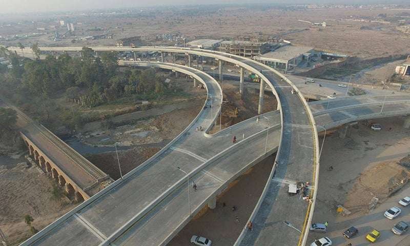
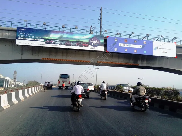
Zirakpur Flyover is one of the best-known road landmarks on the Chandigarh-Ambala highway in Zirakpur, Punjab. It carries through traffic above a dense urban stretch where local markets, residential roads and highway movements meet. The location is strategically important because Zirakpur sits at the gateway to Chandigarh and also connects traffic towards Ambala, Delhi, Patiala, Panchkula and the Shimla side.
The name can cause confusion because Zirakpur now has several flyovers and newer grade-separated projects. In this guide, ‘Zirakpur Flyover’ refers to the long-standing main flyover on the Chandigarh-Ambala highway through the town, which became operational in 2009. It should not be confused with the shorter Chandigarh-Zirakpur border flyover opened in 2022 or with other newer flyover works around Singhpura and the wider bypass network.
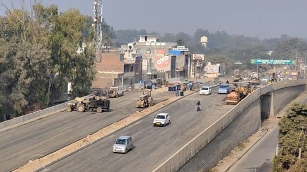
Zirakpur Flyover Quick Overview
| Particular | Details |
| Location | Zirakpur, SAS Nagar (Mohali) district, Punjab |
| Main Corridor | Chandigarh-Ambala National Highway corridor |
| Junction Type | Urban highway flyover with busy local market and surface-road movements below |
| Operational Since | Main Zirakpur flyover has been in use since 2009 |
| Key Connections | Chandigarh, Ambala, Delhi, Patiala Road, Panchkula and Airport Road side |
| Useful For | Through highway traffic bypassing the busiest town-level junctions |
| Traffic Pattern | Heavy throughout the day; congestion can remain under and around the flyover |
Where Is Zirakpur Flyover Located?
The main Zirakpur Flyover runs through the built-up Chandigarh-Ambala highway corridor in Zirakpur. The surface roads below serve local shops, residential colonies and important turning movements around Patiala Chowk and nearby market areas.
Its location is significant because Zirakpur is not simply a suburb of Chandigarh; it is a regional highway junction. Vehicles arriving from Ambala and Delhi use this area to reach Chandigarh, while other traffic branches towards Patiala, Mohali, Panchkula, the airport corridor and the Himalayan highway towards Parwanoo and Shimla.
Connectivity of Zirakpur
The Chandigarh-Ambala highway provides the main north-south movement. Chandigarh lies to the north, while Dera Bassi, Ambala and Delhi-bound routes extend southward. Patiala Road branches from the Zirakpur urban area and serves traffic towards Patiala and the airport-side road network.
Panchkula is also closely linked through the Zirakpur road network, and onward traffic towards Kalka, Parwanoo and Shimla uses the NH-5 side. The combination of through traffic and local turning traffic makes Zirakpur one of the most sensitive congestion points in the Tricity region.
Directions to Zirakpur Flyover
The flyover is a straightforward through route, but surface-road access is required for many Zirakpur destinations. Drivers should decide before the approach whether they need the town below or the highway through movement.
| Starting Point | Route / Direction |
| Chandigarh | Travel south on the Chandigarh-Ambala corridor towards Zirakpur. Use the flyover for through movement and the surface lane for local Zirakpur access. |
| Ambala / Delhi side | Continue north on the Chandigarh-Ambala highway towards Zirakpur and follow signs for Chandigarh, Patiala Road or local exits. |
| Patiala Road | Approach the central Zirakpur junction carefully and remain on the surface road for the Patiala-side turn rather than staying on the through flyover. |
| Panchkula | Use the Zirakpur-Panchkula connecting corridor and follow local signs towards the Chandigarh-Ambala highway. |
| Chandigarh Airport / Airport Road | Use the airport-side road network towards Zirakpur, then choose the Chandigarh, Ambala or Patiala movement before reaching the busy central junction. |
Local traffic arrangements under the flyover have been modified from time to time. In 2026, new U-turn cuts were developed under the flyover to reduce long detours, so live navigation remains useful.
Nearby Areas Around Zirakpur
The Zirakpur road network connects several important neighbourhoods and travel corridors. The table below gives a practical view of the main nearby areas.
| Nearby Area | Why It Is Relevant |
| Patiala Chowk | One of the busiest turning points in central Zirakpur, with major local and regional traffic. |
| Baltana | Dense residential locality on the Zirakpur-Panchkula side. |
| Dhakoli | Large residential area connected through the eastern Zirakpur road network. |
| Lohgarh | Established residential area close to the highway and local market corridor. |
| VIP Road | Major residential and commercial corridor connecting newer developments in Zirakpur. |
| Dera Bassi | Town south of Zirakpur on the Ambala highway corridor. |
| Panchkula | Neighbouring Tricity city reached through the eastern road connections. |
Travel time to these areas can vary considerably with peak-hour queues, local junction traffic, road works and weather conditions.
Public Transport and Local Access
Zirakpur is heavily dependent on road-based public transport. Local and intercity buses, auto-rickshaws and cabs operate throughout the town, while highway buses use the Chandigarh-Ambala corridor. Bus stops and passenger activity below the flyover can contribute to congestion if vehicles stop outside designated areas.
There is no Metro system serving Zirakpur. Travellers using Chandigarh railway station or the airport need an onward road journey. Because the town is spread across several highways, the correct pickup point matters as much as the flyover itself.
Driving Tips for Zirakpur
- Use the flyover for through traffic; stay on the surface road if the destination is inside Zirakpur or requires a major local turn.
- Expect slow movement around Patiala Chowk and market-side junctions even when the elevated lanes are clear.
- Avoid wrong-side driving or sudden U-turns; use the permitted cuts and turning points below the flyover.
- Allow extra time during weekends, holiday traffic and evening interstate travel peaks.
- Do not confuse the main Zirakpur Flyover with the newer flyover near the Chandigarh border when setting a pickup point.
FAQs
1. Is Zirakpur Flyover the same as the Chandigarh-Zirakpur border flyover?
No. The long-standing main Zirakpur Flyover through the town has been operational since 2009. A separate, shorter flyover near the Chandigarh border was opened in 2022.
2. Why does congestion continue below the flyover?
The flyover mainly separates through traffic. Local shops, side roads, turning vehicles, buses and pedestrians still use the surface corridor, so bottlenecks can remain.
3. Should Patiala Road traffic stay on the flyover?
Not necessarily. Drivers needing the Patiala-side turn or local Zirakpur roads generally need the correct surface-road movement rather than blindly remaining on the through flyover.
4. Why were new U-turn points created under the flyover in 2026?
They were intended to reduce long detours and ease pressure around local junctions such as Patiala Chowk and the market-side stretch.
5. Is Zirakpur Flyover useful for Delhi-Chandigarh through traffic?
Yes. It is part of the main highway corridor used by vehicles approaching Chandigarh from the Ambala and Delhi direction.
6. What is the safest way to arrange a cab pickup in Zirakpur?
Choose a clearly identified local road, hotel, market frontage or authorised stopping point. A highway ramp or the flyover itself is not a safe pickup location.