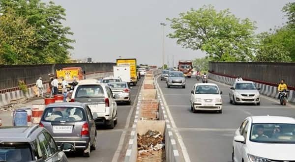
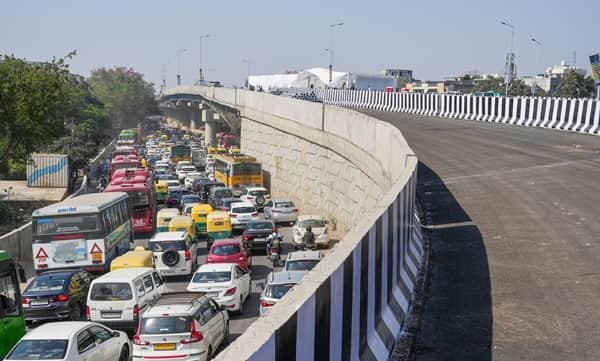
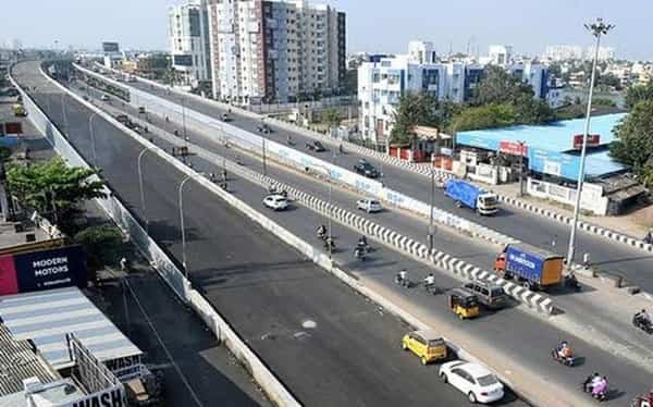
Chandrayangutta Flyover is one of the main grade-separated roads in southern Hyderabad, carrying traffic through a complicated junction of the Inner Ring Road, Srisailam Highway and Old City approaches. The area connects busy local neighbourhoods with routes toward Aramghar and Rajiv Gandhi International Airport on one side and Santosh Nagar, LB Nagar and the eastern part of Hyderabad on the other. Streets toward Barkas, Kandikal Gate and Falaknuma add further turning traffic to the same corridor.
The present flyover is larger than the original bridge. On 27 August 2022, the Greater Hyderabad Municipal Corporation inaugurated a 674-metre extension under its Strategic Road Development Plan. Contemporary reports described an earlier length of about 400 metres, making the enlarged four-lane road roughly 1.07 kilometres long. The extension was intended to improve the movement through Kandikal Gate and nearby intersections, particularly for vehicles travelling between the airport-side roads and the LB Nagar direction. Even after the expansion, local market, school and neighbourhood traffic continues to use the roads below.
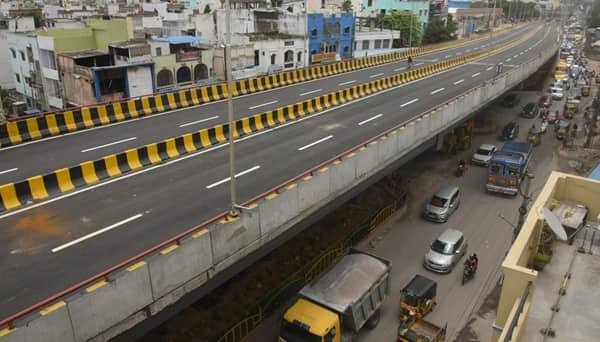
Chandrayangutta Flyover Quick Overview
| Particular | Details |
|---|---|
| Location | Chandrayangutta, southern Hyderabad, Telangana |
| Principal Roads | Inner Ring Road and Srisailam Road corridor |
| Original Flyover | About 400 metres, according to 2022 completion reporting |
| 2022 Extension | 674 metres |
| Overall Length | Approximately 1.07 km after extension |
| Carriageway | Four lanes, two in each direction |
| Extension Inaugurated | 27 August 2022 |
| Agency | Greater Hyderabad Municipal Corporation (GHMC), SRDP |
| Key Connections | Aramghar / airport-side network; Santosh Nagar / LB Nagar direction |
| Important Junctions | Barkas Road and Kandikal Gate |
Where Is Chandrayangutta Flyover Located?
Chandrayangutta Flyover stands in the southern part of Hyderabad’s Old City belt at an important section of the Inner Ring Road. Its approach roads link the Srisailam Road and Chandrayangutta junction area with Kandikal Gate, Barkas Road and neighbourhood routes toward Falaknuma. Through traffic uses the elevated carriageway to pass part of the road network without joining the local crossing queues.
The bridge is not the elevated PV Narasimha Rao Expressway serving the airport route from Mehdipatnam. The two roads are part of different corridors. Chandrayangutta is primarily an Inner Ring Road connection; airport-bound vehicles continue by other major routes after leaving the flyover.
Connectivity of Chandrayangutta Flyover
One important through movement is between Aramghar and the western airport-side connections and the roads continuing east toward Santosh Nagar and LB Nagar. The extended bridge also helps vehicles coming from the Shamshabad direction and continuing beyond LB Nagar toward Nalgonda and Warangal. Its value lies in passing the congested Chandrayangutta–Kandikal crossing area more efficiently.
The surface road remains essential for Barkas, Falaknuma, the Old City’s internal streets and nearby markets. Some journeys require leaving the Inner Ring Road before the flyover rather than entering the elevated portion. Even vehicles that cross the bridge smoothly may encounter congestion when merging back into the city road system, especially where commercial activity and local passenger transport crowd the approaches.
Directions to Chandrayangutta Flyover
The bridge forms part of the Inner Ring Road corridor. The correct approach depends on whether the journey continues across southern Hyderabad or ends in a local neighbourhood.
| Starting Point | Route / Direction |
|---|---|
| Aramghar / Airport-Side Roads | Travel toward Chandrayangutta through the Inner Ring Road system and follow the signed eastbound through lanes for Santosh Nagar or LB Nagar. Airport routes themselves require separate onward connections. |
| LB Nagar / Santosh Nagar | Follow the Inner Ring Road toward Chandrayangutta and Aramghar. Use the flyover approach where indicated and keep clear of lanes that lead into local Barkas streets. |
| Shamshabad | Join the appropriate Aramghar-side road network toward Chandrayangutta; the flyover helps onward travel toward the eastern Inner Ring Road corridor. |
| Barkas | Use the signed Chandrayangutta local roads from Barkas. Stay at ground level when the destination is near Kandikal Gate or the shopping area. |
| Falaknuma | Travel by the permitted local road connecting Falaknuma and Chandrayangutta, then join the Inner Ring Road in the direction required. |
| Old City / Charminar Side | Use the appropriate southbound local route toward Falaknuma or Chandrayangutta, then choose the signed through or surface road according to destination. |
Temporary diversions can affect movement around Kandikal Gate or the local junctions. Highway destinations such as Nalgonda and Warangal are reached through onward roads, not directly from the flyover deck.
Nearby Areas Around Chandrayangutta Flyover
The Chandrayangutta junction brings together airport-side traffic, eastern regional routes and busy Old City neighbourhood movements.
| Nearby Area / Landmark | Why It Is Relevant |
|---|---|
| Chandrayangutta | Major southern Hyderabad locality around the bridge. |
| Inner Ring Road | City orbital road carrying the flyover’s through movement. |
| Kandikal Gate | Busy local junction addressed by the extension project. |
| Barkas | Established neighbourhood connected by local roads. |
| Falaknuma | Historic southern Old City district reached from nearby streets. |
| Aramghar | Important road node for western and airport-side travel. |
| Santosh Nagar | Eastern-side city district on the Inner Ring Road system. |
| LB Nagar | Large eastern Hyderabad interchange for onward regional roads. |
| Srisailam Road | Road corridor intersecting the wider Chandrayangutta network. |
Public Transport and Local Access
TGSRTC city buses, shared autos, auto-rickshaws and taxis operate across Chandrayangutta and nearby Old City roads. Passenger boarding normally takes place at street-level stops, often near market areas and local junctions. A bus route may turn off the Inner Ring Road before the flyover, so its destination board is more important than merely spotting the bridge.
The flyover has no Metro station on it. Travellers using Hyderabad Metro need a separate connection to the operating network, and airport passengers must continue to the airport through the suitable road system. For an address in Barkas or Falaknuma, an auto or local bus from the surface-road junction can be more practical than a vehicle crossing on the elevated road.
Driving Tips
A useful habit on Chandrayangutta Flyover is separating the regional through trip from the smaller Old City turning movements before reaching the ramps.
- Choose the lane for the Inner Ring Road direction early; weaving into a Barkas or Kandikal Gate turn near the ramp exposes vehicles to heavy merging traffic.
- After leaving the bridge, expect mixed vehicle speeds where buses, two-wheelers and smaller local roads meet the main carriageway.
- During busy market hours, watch for pedestrians stepping from between parked vehicles on adjacent surface streets.
- Reduce speed in heavy rain and keep a steady line across expansion joints, especially when motorcycles are travelling nearby.
- Do not assume the road toward the airport is a direct elevated expressway all the way to the terminal. The route requires additional connections.
- Use legal pickup areas away from the bridge ends; sudden stops on the approach can cause rear-end collisions.
- In the evening, allow time for queues beyond the elevated section at the next major junction rather than judging the trip solely by a clear bridge deck.
FAQs
Q.Why do some accounts give 23 August 2022 as the opening date?
The inauguration had initially been scheduled for 23 August but was postponed. Reports of the formal inauguration identify 27 August 2022.
Q. What delayed the extension work?
Contemporary coverage cited the COVID-19 period and utility-shifting difficulties, with other reports also referring to the 2020 floods and coordination issues.
Q. Does the ₹45.87-crore figure include the whole original bridge?
Reports described approximately ₹45.87 crore as the cost of the 674-metre extension work. It should not be presented as the construction cost of the original flyover and the entire connected road network.
Q. Can a heavy vehicle assume every Old City road beyond the bridge is suitable?
No. Local streets can have tighter turns, heavy pedestrian activity and different vehicle restrictions. Stay on major authorised roads unless the destination requires a permitted local approach.
Q. Does Chandrayangutta Flyover directly serve Charminar?
It is part of the southern Inner Ring Road system, not a direct elevated road into the Charminar market area. Local streets are still needed for Old City destinations.
Q. Is the older quoted 480-metre length necessarily a mistake?
Not necessarily. Different records use different definitions for the original bridge, its approach and later extension. The widely reported expanded total is about 1.07 km; figures for particular components should be labelled clearly.